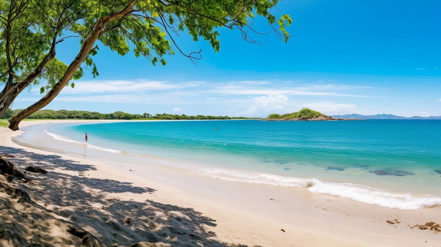
Tamarindo is a beach town in the Guanacaste province, known for its long stretches of sandy shoreline and vibrant atmosphere.
Here are some of things people love about Tamarindo, Conchal, Flamingo Beach, and other beaches in the area.
- Surfing: Surfing has been essential for the development of this area. Many tourists have been attracted to this beach to practice. It has even been the venue for important international championships, and important movies have been filmed for surfing due to its quality of waves, comfort, and beauty.
- Las Baulas National Marine Park: This National Park protects the leatherback turtle, which is in danger of extinction. They have nested on the beaches of the National Park since before humans arrived here. In addition to being a turtle house, it is home to the largest mangrove in Latin America, and you can witness this.
- Nightlife: The main strip of Tamarindo is where most of the nightlife can be found, with a variety of options for live music, dancing, and drinks. Visitors can find a mix of options, from casual beach bars to upscale nightclubs.
.
Golden season
November to April
Green season
April to October
Average temperature
89 °F (32°C)
Average rainfall
90 inches (2000 to 2500 mm)
The history of Tamarindo dates back to the pre-Columbian era where the area was inhabited by indigenous tribes. In the 20th century, Tamarindo began to develop as a fishing village and later on as a surf destination. The town has grown and developed over the years, becoming a popular tourist destination known for its natural beauty, great surf, and vibrant nightlife.
Where is Tamarindo
- 5 hours from Juan Santamaria Airport In San Jose (SJO) (155 miles / 251 km)
- 1.3 hours from Guanacaste Airport in Liberia (LIR) (42 miles / 68 km))